Open common GIS formats
View Shapefile sets or ZIPs, GeoPackage vector layers, KML/KMZ, GeoJSON, GPX and GeoTIFF rasters. Import CSV files with latitude/longitude or X/Y columns.
Take your GIS data into the field. Open files, view them on an offline base map, check attributes and measure distances and areas. With Pro, edit features, attach photos, record tracks and export. No account, no cloud, no subscription.
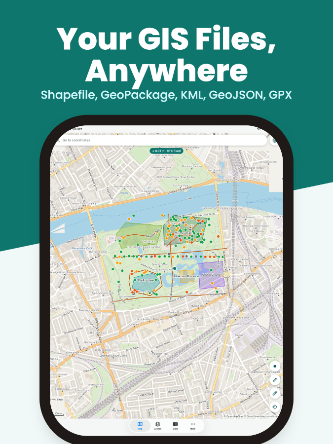
View Shapefile sets or ZIPs, GeoPackage vector layers, KML/KMZ, GeoJSON, GPX and GeoTIFF rasters. Import CSV files with latitude/longitude or X/Y columns.
Read coordinate systems from Shapefile .prj files, GeoPackages and GeoTIFFs, and reproject on the fly. Display positions as decimal degrees, DMS, UTM, MGRS or projected coordinates.
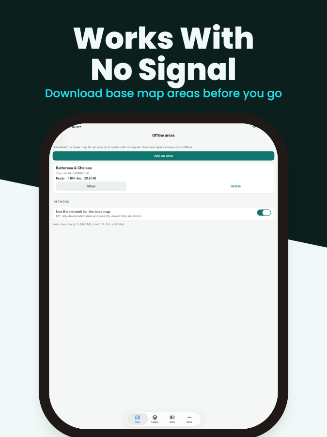
Download base map areas before leaving coverage. Choose light or dark styles, add your own XYZ tile source or use MBTiles base maps.
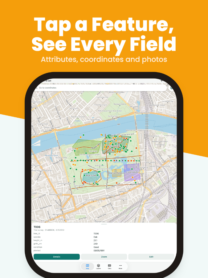
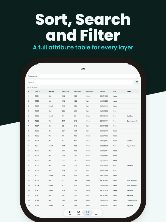
Sort, search and filter the attribute table, or tap a feature to see its fields. Set colours, line widths, fills and labels, with styles based on attribute categories.
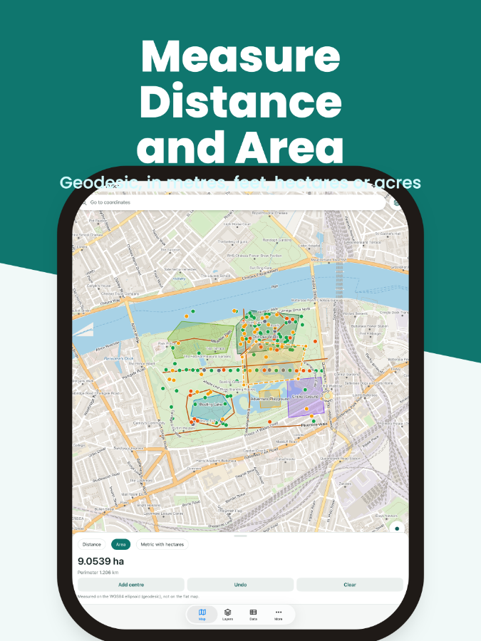
Measure distances and areas on the ellipsoid in metric or imperial units, including hectares and acres. See your GPS position with an accuracy circle and accuracy in metres.
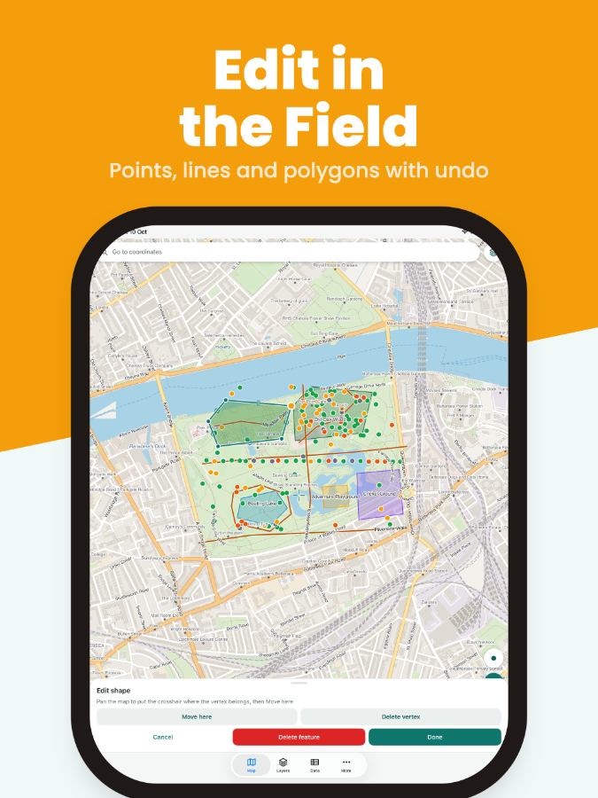
Add points, lines and polygons, move vertices, edit attributes and attach photos. Record tracks and export to Shapefile, GeoPackage, GeoJSON, KML/KMZ, GPX or CSV in your chosen coordinate system.
Mapwright requires no account and does not upload your GIS data. The free version includes ads. Pro removes them.
One payment unlocks editing, photos, GPS averaging, track recording and export, plus unlimited layers and offline areas. On Android, Pro also supports external Bluetooth GNSS receivers. No subscription.
The Android release is intended for Google Play. The iPhone and iPad app is built but has not yet been submitted to the App Store.